Established since 1982
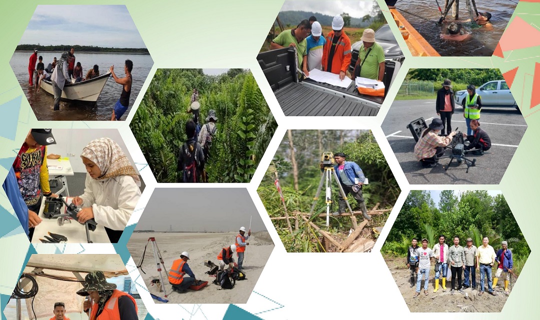
Sarawak first Survey Consultant Firm to acquire Global Navigation Satellite System (GNSS) - Global Positioning System (GPS) technology to carry out survey works since 1995 and Drone Survey in 2013
Our Team
Our Services
Specialized in Engineering, Topographical, Mining, Underground Utility Mapping, Hydrography, Strata Title, Perimeter, Cadastral Survey, GNSS Control Survey, Aerial Photo Mapping by UAV and Airborne LiDAR Survey
Work with us
Our Mission
To offer top-notch survey services tailored to our clients' needs, using cutting-edge technology and expertise to deliver valuable insights
Career